
TEAM SharedTerrain
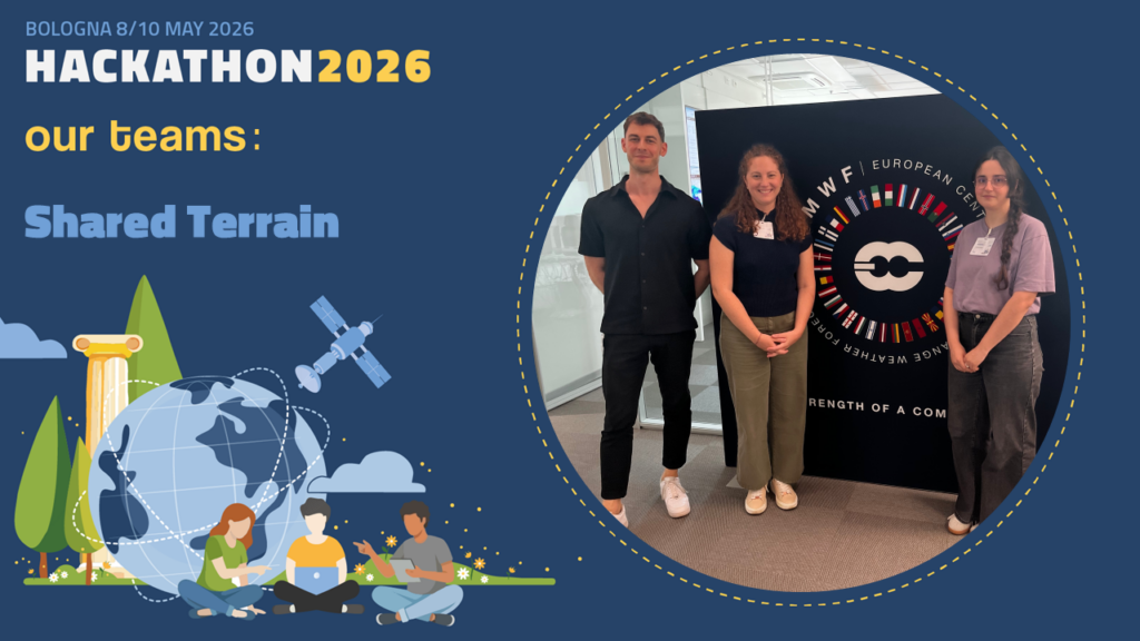
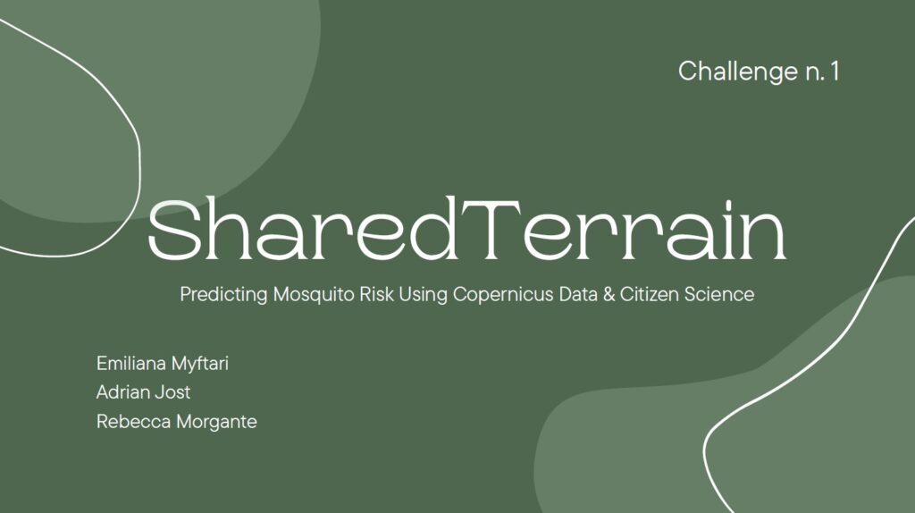
Team “SharedTerrain”: Emiliana Myftari, Adrian Jost, Rebecca Morgante SharedTerrain Predicting Mosquito Risk using Copernicus Data & Citizen Science.
Data:
7 Luglio 2026
Diapositiva3
Team “SharedTerrain”: Emiliana Myftari, Adrian Jost, Rebecca Morgante
SharedTerrain
Predicting Mosquito Risk using Copernicus Data & Citizen Science.
3. SharedTerrain
Abstract:
Mosquitoes are often dismissed as a minor inconvenience, yet vector-borne diseases remain one of the most underestimated global health threats. SharedTerrain emerged from a deeply personal experience after a close person from one of our team members suffered life-threatening complications following a mosquito bite. This event motivated us to investigate how environmental intelligence, Earth observation, and citizen science could contribute to better understanding and predicting mosquito-related risks in a rapidly changing climate.
Our project explores the relationship between mosquito spreading and environmental conditions through the integration of climate data, satellite observations, and community-generated information. Inspired by existing mosquito monitoring initiatives, particularly studies conducted in the Emilia-Romagna region in Italy, we examined how variables such as temperature, humidity, precipitation, vegetation, stagnant water, and wind patterns strongly influence mosquito presence and density. We also drew conceptual inspiration from nature-integrated environmental intelligence systems such as EYWA Mimesis.
To address this challenge, we focused on open-access environmental datasets, especially those provided through the Copernicus Programme, including atmospheric products, climate datasets, and satellite observations. However, one of the key difficulties we encountered was the mismatch between large-scale climate data and the highly localized nature of mosquito habitats. Mosquito breeding conditions can depend on micro-environments that are difficult to capture using coarse-resolution satellite products. In many underdeveloped regions, the absence of local monitoring infrastructure further complicates accurate prediction and response.
Our proposed framework investigates how low-cost mosquito risk monitoring systems could be developed primarily through open Earth observation data combined with citizen science contributions. Using smartphones, communities could report mosquito presence, stagnant water, or unusual insect activity, helping compensate for missing institutional datasets. By combining satellite observations from above with citizen observations from the ground, we envision a scalable and accessible environmental sensing network.
Beyond human health, we also explore applications for pet and animal protection through localized mosquito risk alerts and exposure maps. While the project is still evolving, SharedTerrain highlights the potential of combining environmental data, climate intelligence, and public participation to create more inclusive and globally accessible mosquito monitoring systems.
Ultimo aggiornamento
8 Giugno 2026, 12:24