
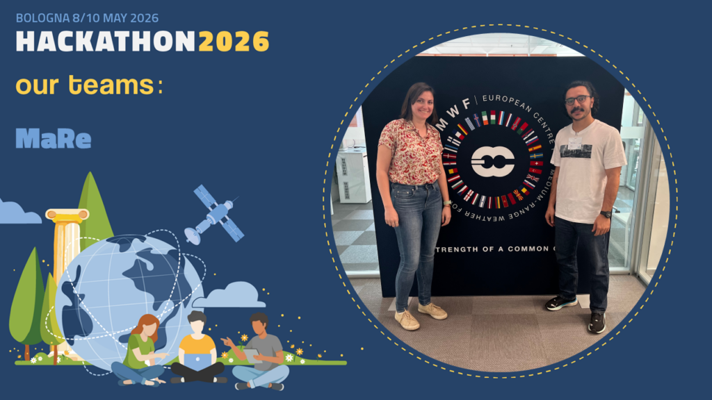
TEAM MaRe
Team “MaRe”: Maddalena Dozzo, Reza Louni From Alerts to Action: Improving Volcanic Risk Communication and Evacuation Planning: the Taal volcano case study Abstract: The eruption of Taal volcano (Philippines) occurred on 12 January 2020 showed significant challenges in volcanic risk communication and evacuation management (Martinez‑Villegas et al.
Data:
21 Luglio 2026

Diapositiva5
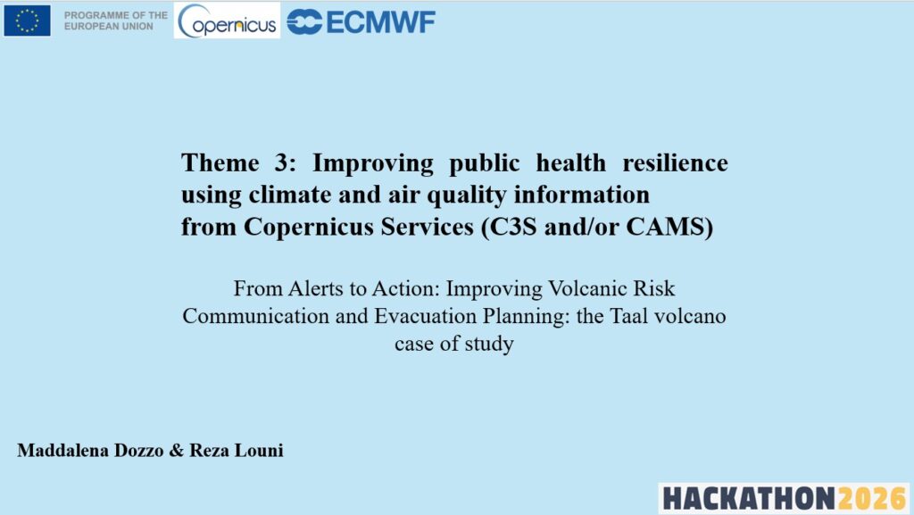
Team “MaRe”: Maddalena Dozzo, Reza Louni
From Alerts to Action: Improving Volcanic Risk Communication and Evacuation Planning: the Taal volcano case study
6. MaRe
Abstract:
The eruption of Taal volcano (Philippines) occurred on 12 January 2020 showed significant challenges in volcanic risk communication and evacuation management (Martinez‑Villegas et al.,2022; Jumarang, 2026). Beyond the immediate threat posed by ash fall and pyroclastic activity, the event generated severe air quality degradation due to high SO₂ emissions, acidification of the caldera lake, and ecosystem stress, causing animal death and loss in vegetation, as observed through Sentinel‑2 NDVI differences before and after the eruption.
This study proposes an integrated system that enhances public health resilience by combining atmospheric and climate information from the Copernicus Atmosphere Monitoring Service (CAMS) and the Copernicus Climate Change Service (C3S). Using CAMS observations of sulfur dioxide (SO₂) concentrations and ERA5 reanalyses of wind and precipitation, together with local weather forecasts the system provides real-time guidance for evacuation planning during eruptive events.
The objective is to move from alerts to action by enabling operational support for emergency management and evacuation planning. Through real‑time processing of SO₂ plume dispersion and wind direction patterns, the system identifies “Safe Zones” and automatically communicates evacuation guidance through a mobile application. The platform would be activated by local authorities and provide route optimization and notification based on C3S–ERA5 combined datasets, local weather forecasts and GPS user location.
The proposed approach helps fill the gap in real‑time information sharing between agencies. It offers a practical way to make faster, location‑specific decisions, improving coordination between civil protection teams, environmental monitoring services, and local communities.
From a socio‑economic perspective, the proposed system contributes to a reduction in exposure to toxic gases, a faster mobilization of resources, and improved public awareness through accessible digital tools. Future developments will explore the assimilation of Himawari‑9 geostationary satellite data to increase time resolution SO₂ tracking and the extension of this methodology to other volcanic regions and atmospheric pollutants.
Ultimo aggiornamento
8 Giugno 2026, 18:28